Maps of Antiquity
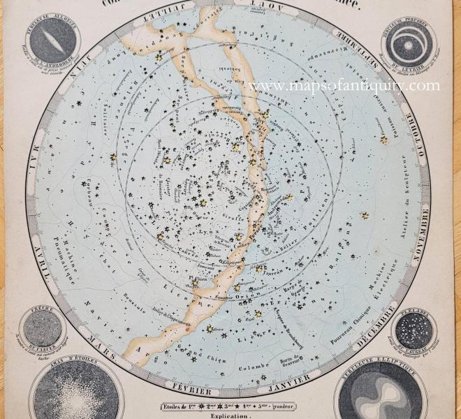
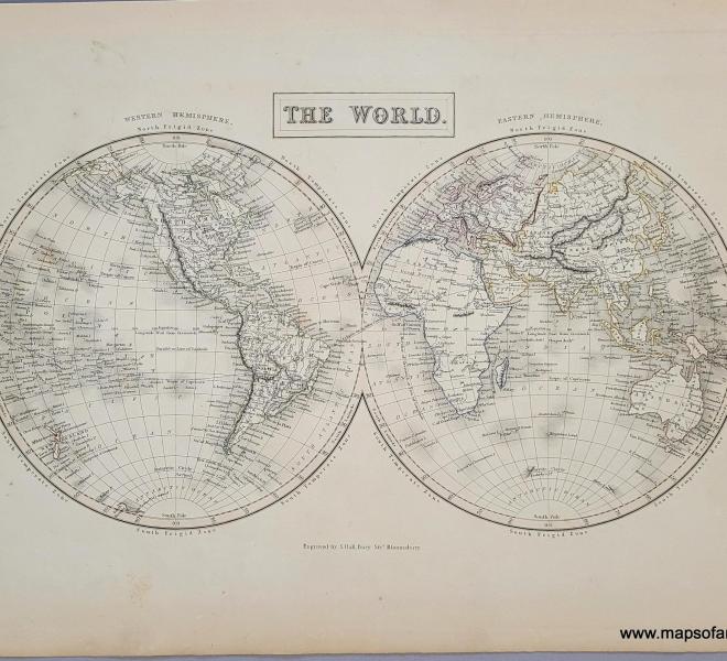
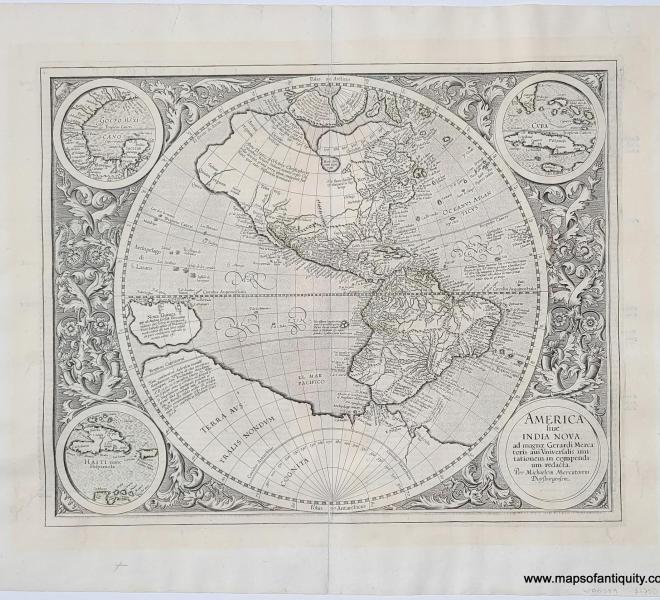
Now over 30 years in existence, Maps of Antiquity is thriving. Our current collection of maps, prints and charts includes more than 18,000 items. Our hope is to remain small enough to offer personalized service to each of our customers while still growing and finding new and interesting antique maps, charts, prints, and postcards to share with our customers, and new ways to preserve these pieces for many years to come. Our goal is to connect people with history through maps, and to offer maps at a variety of prices so that everyone has access to these unique pieces of history.
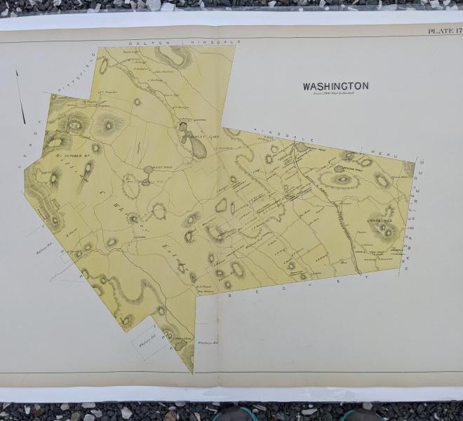
We try to put as much of our inventory as possible online. We continue to increase this inventory as we acquire new items. We currently remain open year-round. We offer maps of Cape Cod and individual Cape towns as both original antiques and reproductions, as well as antique town maps for much of the Northeast, maps of every state, and many countries and continents.

